03-6272-4372営業時間 9:00〜18:00
防災メディア
Changes Come to Disaster Response Plans
2017/05/16
The new technologies allow us to make preparation and plans in new ways. Then at the time of a disaster the new technologies allow the emergency personnel and the leaders to act in new ways, based on timely and accurate information.
Drone technology is a recent development that comes in many sizes. Before an emergency the drone operator can preview (and indeed rehearse) the routes of evacuation to the designated shelters. Photos taken from a drone at altitude given an overall view of a site and the situation of a shelter in this setting. During an emergency event or exercise people are experimenting with delivery of medicines via drone. And when other information sources are absent then the drones can collect local conditions by remote control. But strong wind and/or precipitation can ground the aircraft. However, even they have these limitations, still they make possible much that had been unimaginable before.
Rules about who, when, and where the UAV (unmanned aerial vehicle) can operate are still being worked out. But in the meantime new ways are being trialed to apply this technology to plan for, to practice, and to respond to disasters so that the right information goes to the right person at the right time.
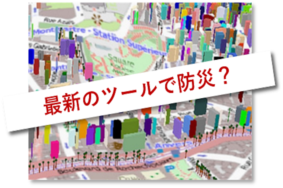
GIS (geographic information systems) is another tool for planners, emergency managers and responders to contribute to and to use when looking for answers that help in making decisions. The base map shows what can be found at a given location. At the point of an incident new data can be added directly from the event location, or possibly be updated by sources like drones and robots on the scene that send in their pictures and measurements. By answering the question of what, where and when through the map’s visual presentation, it is possible to share a common operating picture among everyone involved – those being saved as well as those who are doing the saving. Controls allow the GIS manager to limit how much is visible to the public, while still giving lots of useful information about conditions on the ground in real time, as they now are trialing in New Zealand.
Maybe social media is the biggest source of change for planning for disasters, reducing risks, and then managing the emergencies that arrive. People inside the disaster area and outside the danger zone can communicate back and forth. One example is the “safety check” tool that Facebook users have. By marking the safety check then the friends and family of that person can see that there is no danger for that person. And emergency managers can look for trends to see where the safety check is and where it is not. Other social media sources also help the people inside and outside the disaster to know the conditions. The situational information can be shared three ways: between emergency operation centers (emergency managers), the emergency personnel and the affected people close to the disaster, as well as the people outside of the disaster.
By combining these three examples of new technology together, and with the earlier tools for gathering, organizing, and sharing information everybody benefits: better plans can be made, better exercises can be practiced, and better responses during the disaster can be managed. Imagine how drones send fresh information from their GPS locations and this can be added to GIS maps to make the best decision about rescue and resources. Then these new conditions and the decisions can reach many people via social media. Of course the loss of electrical power can limit the full application of these things, but these tools are active today and little by little are coming into wider use.
=-=-=-=-= Image credits, [GIS map 3d] www.flickr.com/photos/o_0/15747547986
[drone photo] flickr.com/photos/45614409@N05/6666245525